mountain landscapes - kananaskis Country
|
|
Data PortalData type: Camera Data Number of Cameras: Area: 15,800 km2 Timespan: 2016-2020 Camera data and models: Email us to discuss data sharing Landcover data: ABMI's Human Footprint Database. Metadata: See Publications, below. |
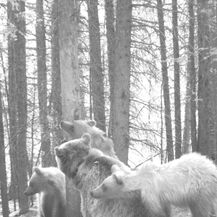
Kananaski Country is located in eastern central Alberta. A steep and rugged area which slowly levels off into foothills as you move east, it is predominantly coniferous forest. It see's considerable recreational use along with a variety of industrial developments.
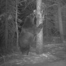
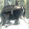
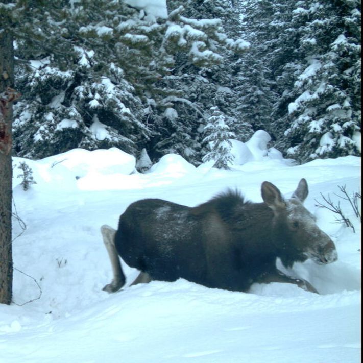
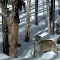
The most recent research to come out of the lab for this area was in 2020. It investigated the impacts of human landscape disturbance on species activity patterns within carnivore communities.
See below for a list of publications.
The most recent research to come out of the lab for this area was in 2020. It investigated the impacts of human landscape disturbance on species activity patterns within carnivore communities.
See below for a list of publications.
|
Associated Publications:
2020 Frey, S., J.P. Volpe, N. Heim, J. Paczkowski, and J.T. Fisher. 2020. Move to nocturnality not a universal trend in carnivore species on disturbed landscapes. Oikos 129: 1128-1140. https://doi.org/10.1111/oik.07251 2019 Heim*, N, J.T. Fisher, J.P. Volpe, A. Clevenger, J. Paczkowski. 2019. Mountain carnivore community response to anthropogenic landscape change: species-specificity foils generalizations. Landscape Ecology 34(11): 2493-2507. 2017 Heim*, N.A., A.P. Clevenger, J. Paczkowski, J.P. Volpe, and J.T. Fisher. 2017. Cumulative effects of climate and landscape change drive spatial distribution of Rocky Mountain wolverine. Ecology and Evolution 7(21): 8903-8914. https://doi.org/10.1002/ece3.3337 2016 J.T. Fisher, N. Heim*, S. Code, and J. Paczkowski. 2016. Grizzly bear noninvasive genetic tagging surveys: estimating the magnitude of missed detections. PloS One 11(9): e0161055. External Links |
|