CHeck Out the landscapes we're working in
MountainVertical Divider
Vertical Divider
|
BorealVertical Divider
|
Forest & FarmVertical Divider
|
UrbanVertical Divider
|
ArcticVertical Divider
|
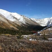
Mountain Landscapes
|
Vertical Divider
|


|
Vertical Divider
|
|


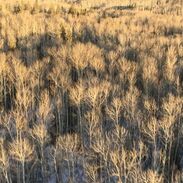
Boreal Landscapes
The western boreal forest of Canada is a wild, beautiful place. It also cloaks the Canadian Oil Sands, the world's 3rd largest petroleum deposit and a driver of global economy.
Thew new landscapes created by exploration and development affect all mammal species living there. We research why, where, and how, through the Oil Sands Monitoring Program.
Thew new landscapes created by exploration and development affect all mammal species living there. We research why, where, and how, through the Oil Sands Monitoring Program.
Vertical Divider
|
Vertical Divider
|


|
Vertical Divider
|


Vertical Divider
|


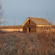
Forest and Farm Landscapes


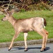
Urban Landscapes
|
Vertical Divider
|


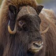
Arctic
|
Vertical Divider
|


