Mountain Landscapes - Mountain National Parks
|
|
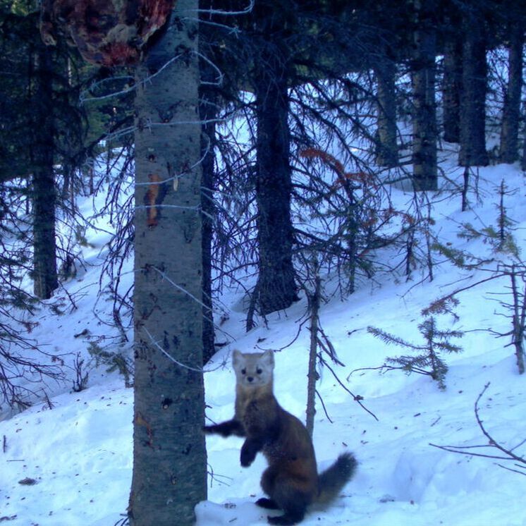
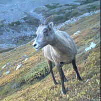
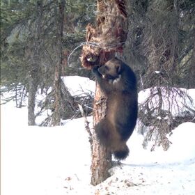
Data PortalData type: Camera Data Number of Cameras: ~300 across 6 parks. Area: ~22, 000 km2 Timespan: Variable between parks Camera data and models: Obtained from Parks Canada through data sharing agreement. Landcover data: ABMI's Human Footprint Database and the Governments of Alberta and BC. Metadata: NA |
The Mountain National Parks consist of 7 parks managed by the Parks Canada Agency that span the Rockies: Banff, Yoho, Kootenay, Jasper, and Waterton, and the Columbias: Mount Revelstoke and Glacier. These parks protect extensive areas of large mammal habitat while also drawing in millions of visitors annually for sight seeing and recreation. Additionally, disturbances from forest harvesting, oil extraction, and trapping occur right outside of the boundaries of protection. The ACME Lab is currently employing data from all the parks except for Waterton.
Data from these parks are currently being used in two projects:
Data from these parks are currently being used in two projects:
- Assessing the importance of protected areas in determining mammal distributions, relative to other landscape features.
- Assessing the relative impacts of industrial and recreation disturbances in and outside of the protected areas on large mammal species.
